top of page


Faster, safer emergency response
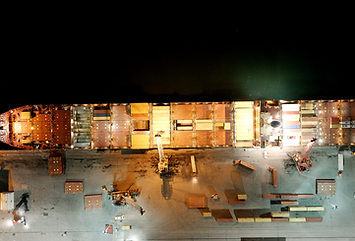
CHRIS gives port and maritime teams a satellite-like view of any incident within seconds, from ship fires to harbour accidents. With real-time maps and smart features like hotspot detection and infrared, crews can respond faster, safer, and in sync.
Why Maritime Professionals Choose CHRIS
From rapid deployment to offline mapping, discover how CHRIS supports safe and effective operations.


Our products
Innovative tools for safer missions
From fully mobile off-grid units to enterprise software, CHRIS adapts to the way your emergency services operate.


Frequently asked questions
Find quick answers to common questions about CHRIS and its capabilities
Contact our expert
Didn’t find your answer or need more details? Our expert is here to help.
Head of Partnerships

Book a Free Demo
Test how CHRIS can help you by signing up for a free demo.
bottom of page